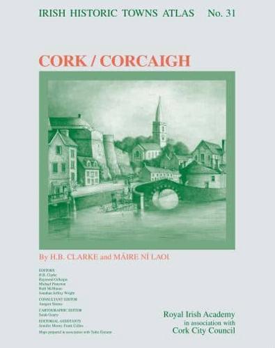
Publisher's Synopsis
This new historical atlas of Cork will explore the city from its origins to the present day. The emergence of Cork from a monastic settlement on a marshland site through to the thriving city we know today is explained in a thoroughly researched text, illustrated with newly created thematic maps, early views and photographs. Historic maps are reproduced on large-format pages showing how the topography transformed through time. A gazetteer of over 13,000 sites and accompanying essay gives the detailed topographical history of the city up to c. 1900. The Irish Historic Towns Atlas is a long-term research project of the Royal Irish Academy. Since publication began in 1986, thirty atlases of Irish towns and cities, north and south, have been published. The atlases are produced following basic principles making it possible to compare and contrast places with one another. Cork will join the cities of Dublin, Belfast, Galway and Limerick; and regional towns of Bandon and Youghal already covered in the Irish series; as well as over 580 European towns and cities produced as part of a wider International scheme. See www.ihta.ie for more information. The Irish Historic Towns Atlas of Cork is published by the Royal Irish Academy in association with Cork City Council. Maps are produced in association with Ordnance Survey Ireland.