Publisher's Synopsis
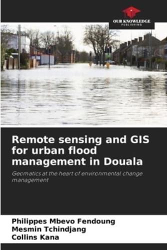
The occurrence of natural hazards presents humanity with ever-greater challenges. According to accurate statistics, on average over 300,000 people are affected by hazards every year, and almost 78,000 lose their lives in the process. At the forefront of these risks are mass movements, erosion and flooding. Flooding is the main threat to Cameroon's coastal towns, such as Limbe, Idenau, Kribi, Tiko and Douala... The disastrous nature of these events and their frequency explain the immensity of the damage caused. The main aim of this project is to assess and spatialize the risk of flooding in the city of Douala, using remote sensing and GIS tools. It also aims to assess the resources available to and mobilized by public authorities and the local population to deal with this risk. The study is based on a diachronic analysis of land use in and around the city of Douala, between 1975 and 2015. The delimitation of areas vulnerable to flood risk, based on a hydrogeomorphological approach and field survey data.